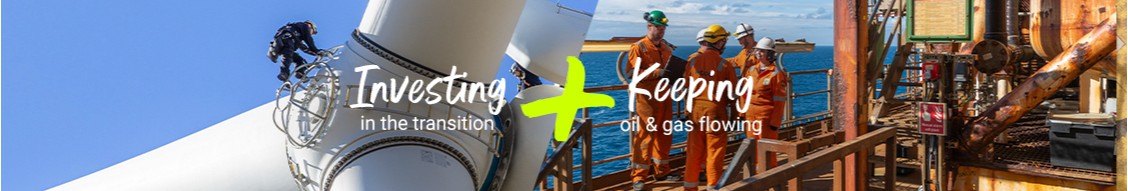
1,300 miles of pipeline monitored by drones in Alaska’s remote Prudhoe Bay oil field. Learn more here: http://on.bp.com/22JdyjI
Working with drones for Aerial Survillance is a good practise for Pipeline survey. But Satellite survey is having its edge over other technologies with a coverage of 1 Million Sqkm of aerial coverage a day with ease in 3D mapping. This is something to be implemented on full scale.
Yes, that would be a fantastic job to do!!👍🏻
I fly drones and fpv for a hobby. Wouldn't mind doing it as a job.
I think that working with drones can be a good tool to use in the safety field. I see them being used in various applications. So this is very cool to see it being used here.
Very interesting experience. But if it can be replaced by satellite technology (as Kevin said) ... We should to compare both methods in each case, I think.
Thank you sir for your information, our instruments are not at the top to have all those information which are crucial and to avoid any kind of leaks of product,
Our Company can provide that service with satellite ,its faster and lower the costs.
Pricing & Sales Performance Specialist at ArcelorMittal International
8yVery cool to see BP using drones for these purposes.